
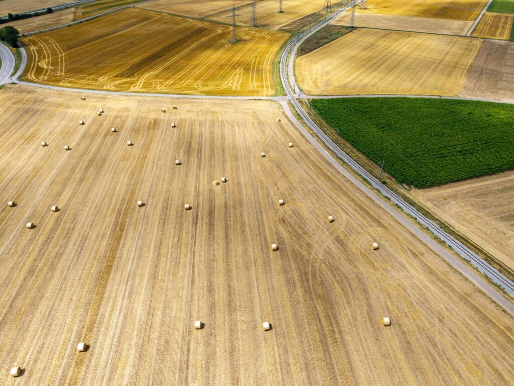
Scientists have mapped subsurface agricultural tile drainage systems across farm fields, revealing extensive networks of buried pipes used to manage soil moisture and runoff.
Subsurface tile drainage involves installing perforated pipes beneath the ground to drain excess water away from crop roots, improving field access and crop growth during wet periods. Despite widespread use across agricultural regions, precise records detailing where these underground lines are located have historically been incomplete or missing entirely. Researchers utilized remote sensing data, including aerial imagery and satellite observations, to detect the subtle surface variations in soil moisture and vegetation that indicate where drainage lines lie beneath the soil.
Locating buried drainage infrastructure provides crucial data for regional hydrology and environmental management. These systems accelerate the transport of water and dissolved nutrients, such as nitrates and phosphorus, from farm soils directly into nearby waterways. Accurate mapping allows hydrologists, conservationists, and agricultural planners to better predict runoff patterns and design targeted conservation practices that minimize nutrient loss.
Source: phys.org